Zoning the Oceans: The Smart Quarantine Plan to Fight Invasive Marine Pests
When an invasive marine pest takes hold in a fragile underwater ecosystem, it behaves like a silent fire. It breeds rapidly, outcompetes native flora, and creates a boring, destructive monoculture that erodes regional biodiversity. For everyday seafood consumers, the threat is direct and severe: marine biosecurity failures instantly impact the health of the marine habitats we love, distort the wild catch we eat, and dismantle the livelihoods of the coastal communities that rely on commercial fishing.
Historically, trying to eradicate an introduced pest once it establishes under the waves has been deemed a nearly impossible, multi-million-dollar task. But a groundbreaking study published in the prestigious international journal iScience offers a brilliant new approach.
Discussed on RRR Radio Marinara’s Life’s a Beach segment by co-author Dr. Chi Le from Edith Cowan University, the paper reveals how complex mathematical modelling and environmental data can combine to stop invasive hitchhikers in their tracks—without shutting down the local maritime economy.
The Secret Paper: Networks and Biosecurity
The study, titled "Protecting Galápagos' marine ecosystems: Biosecurity and network design against invasive species from tourist vessels," was led by Professor Marnie Campbell (Executive Dean of ECU's School of Science) alongside Dr. Chi Le and Professor Chad Hewitt. (https://www.sciencedirect.com/science/article/pii/S2589004226008618 )
The team chose the Galápagos Islands—a pristine UNESCO World Heritage site and global ecotourism hotspot—as their primary laboratory. While earlier work from the group successfully overhauled international commercial shipping protocols, local tourist boats moving travelers between individual islands remained a glaring, unmanaged biosecurity highway.
Marine pests don't require a ticket to travel. As biofouling hitchhikers, invasive species quietly attach themselves to the submerged surfaces and hulls of small passenger vessels or travel in water-holding compartments. Over the study period, the team tracked an astonishing 12,433 individual vessel trips connecting 19 distinct islands within the archipelago, exposing a highly connected, high-risk pathway for rapid pest distribution.
Breaking the Highway into Island "Neighbourhoods"
Dr. Le’s specialized quantitative contribution integrated massive vessel movement datasets with localized environmental metrics. The modelling demonstrated that the islands are not all connected equally; instead, specific vessel routes and island pairs form highly concentrated, localized traffic patterns.
From this data, the researchers pioneered a revolutionary biosecurity solution: zoning the archipelago into "neighbourhoods."
A neighbourhood is defined as a specific cluster of islands that are far more tightly connected to each other via boat traffic than they are to the rest of the archipelago. By mapping these communities using advanced network analysis, authorities can institute a smart, targeted quarantine mechanism:
- The Targeted Pause: If an invasive pest is suddenly detected on an island, authorities do not need to panic and paralyse the entire regional economy.
- Localized Containment: Instead, vessel movement between that specific "neighbourhood" and the rest of the archipelago is temporarily paused, effectively cutting off the transmission highway.
- Sustaining Livelihoods: Crucially, local tourist boats and fishing vessels are permitted to continue operating within the boundaries of the affected neighbourhood and across other unexposed zones. This provides a functional mechanism that balances environmental defence with community survival.
The Temperature Filter: Nature’s Natural Quarantine
A truly fascinating element of Dr. Le’s quantitative model is the inclusion of Sea Surface Temperature (SST) data. While we might imagine tropical archipelagos as having a uniform water temperature, deep-ocean currents and upwellings create distinct temperature gradients across island chains.
Whether a hitchhiking pest can successfully jump off a boat hull, survive, and multiply depends entirely on whether the new environment matches its biological tolerances. Sea surface temperature acts as a rigid environmental filter. By layering SST data over the boat transit routes, the ECU model precisely predicts whether a pest transported from "Island A" could actually survive the climate of "Island B." Leveraging these environmental mismatches allows managers to prioritize enforcement on routes where pests are mathematically most likely to thrive.
From the Galápagos to Australia: A Global Blueprint
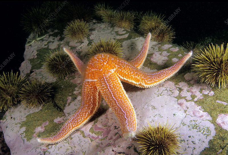
While the fieldwork was completed in South America, the logic of the iScience paper is entirely transferable to any interconnected marine network in the world. The "neighbourhood" quarantine framework can be seamlessly adapted to temperate or tropical marine networks across Australia—from protecting the unique ecosystems of the Great Barrier Reef to managing local introduced pests like the Northern Pacific Sea Star and the invasive fan worm in our own southeastern waters.
For the Seafood Consumers Association (SCA), this research represents a massive leap forward for holistic marine resource management. Protecting our oceans from biofouling pests is not just a niche scientific concern; it is a fundamental pillar of food security. By substituting heavy-handed, reactive blockades with data-driven, pro-active zoning, we can safely target-harden our fragile coastal ecosystems, support our regional commercial fishers, and protect the integrity of the wild seafood that eventually feeds our families.
What are your thoughts? Should Australia introduce data-driven "island neighbourhood" quarantine networks to better protect our coastal tourism and commercial fishing grounds? Let us know in the comments below and engage with the Seafood Consumers Association today to champion modern transparency across our aquatic systems!
“26 Million Voices. One Seafood Future.”
Comments
No comments yet.